
Map Companion · Northern Coast Route Notes
Preserved towers, read as landmarks along the northern shoreline.
Use these notes as a coastal reading guide: each stop combines place cues with concise history so your map view can move from coordinates to lived maritime context.
-
North Reach · Mile 12
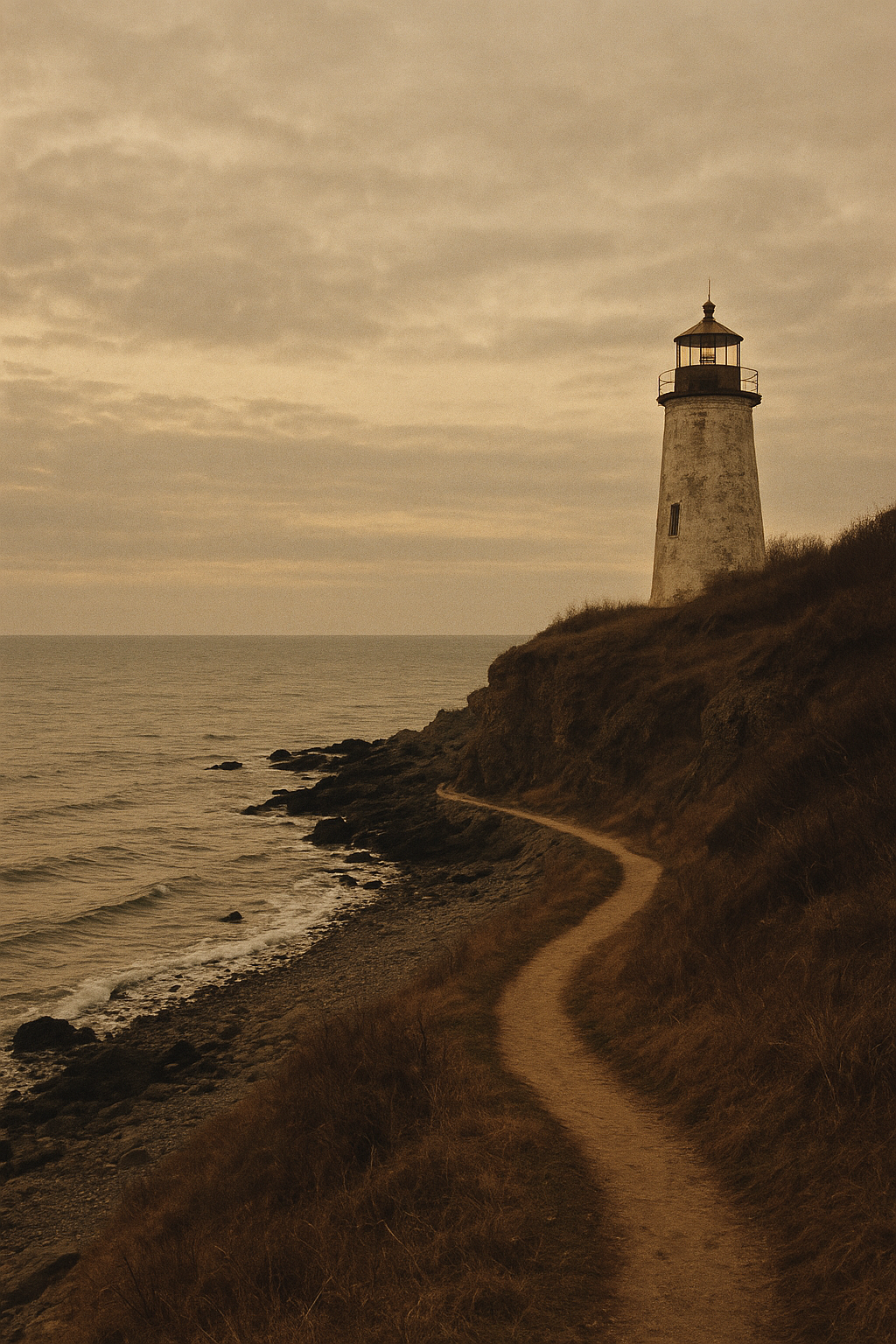
Grey Point Light
Established in 1868 to mark a narrow reef crossing; the present stone lantern room was reinforced after the winter storms of 1911.
-
Harbor Bend · Mile 21
St. Ives Lantern Tower
A cast-iron tower moved inland in 1934 after shoreline retreat; keeper logs describe fog bell routines that ran through both world wars.
-
Sandbar Channel · Mile 33
Beacon House at Low Spit
Originally paired with range lights to guide cargo brigs; now preserved with its oil store and workshop foundation still visible onsite.
-
Outer Cliffs · Mile 47
Blackwater Head Lighthouse
Completed in 1892 on a steep basalt edge; its first-order lens survived evacuation years and is now interpreted in the keeper quarters.